
Atlantis
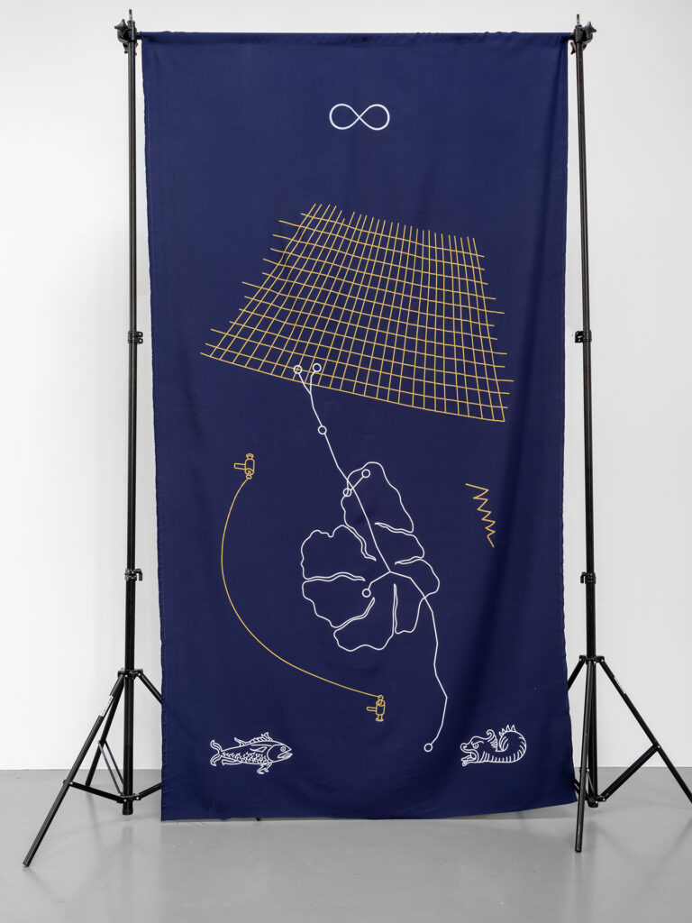
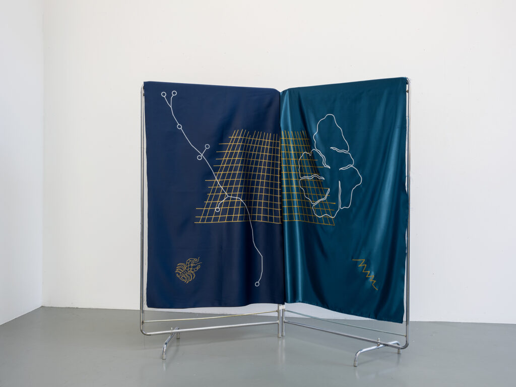
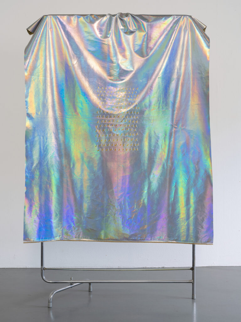
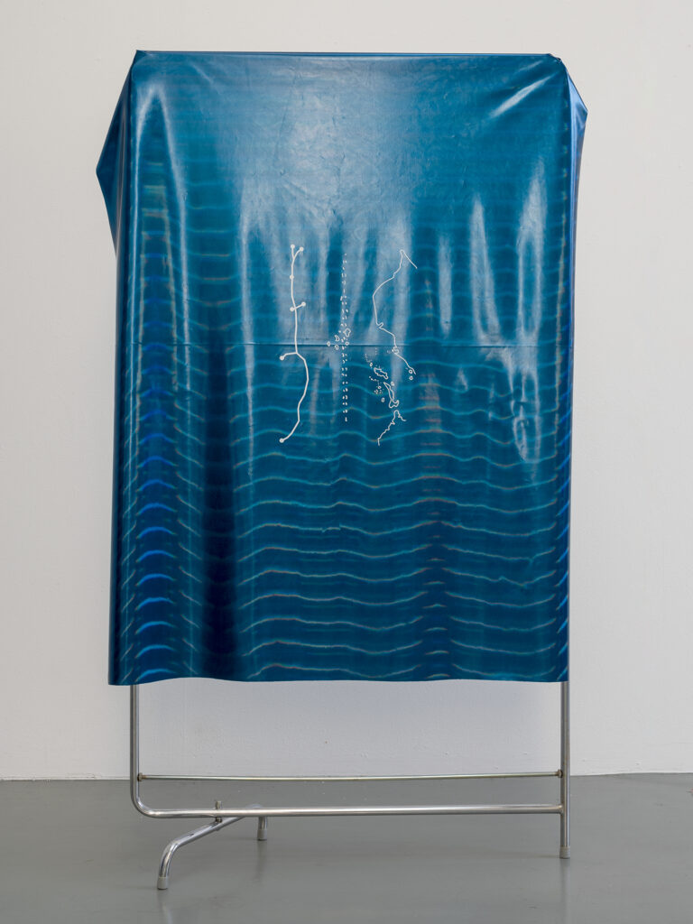
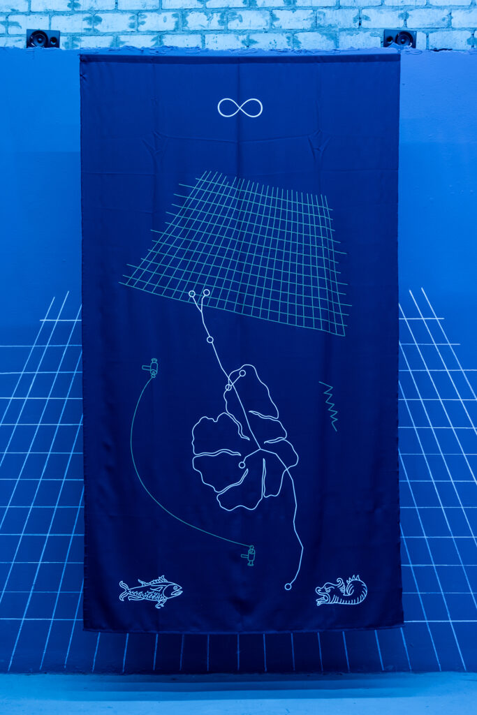
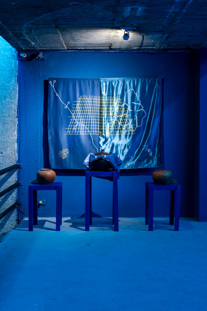
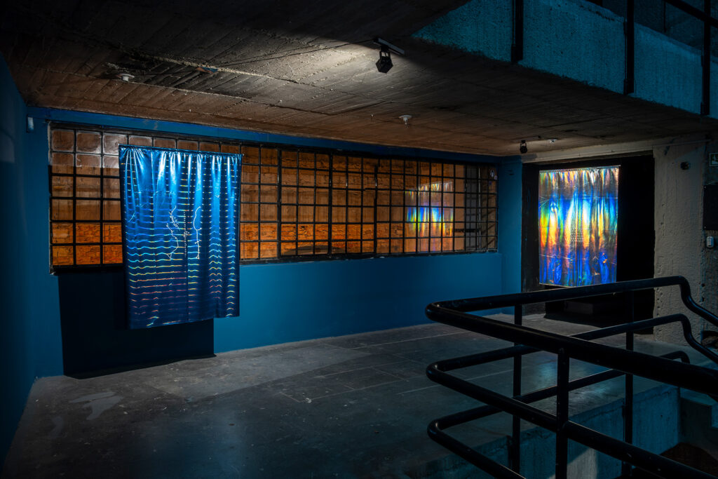
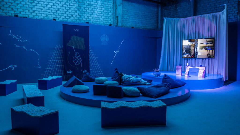
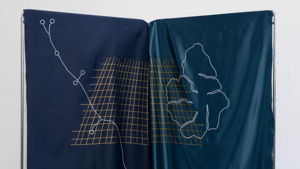
Four screen-printed textiles with compositions made with images from the historical, mythological, and cartographic research on Atlantis-2, the first submarine internet cable laid between Europe and South America. These counter-cartographies plot a temporal and spatial continuum between the colonial and technological imaginaries of maritime infrastructures.
The material originates from the first maps of the Americas made by Columbus for the Tordesillas Treaty —which divided the world for the Spanish and Portuguese crowns—, the Cantino Planisphere from 1502, maps made by Antonio Pigafetta during his voyage with Ferdinand Magellan in 1512, maps of the mythological island of Atlantis made by Athanasius Kircher in 1665 and another by Francis Bacon in 1623, technical maps of the Atlantis-2 cable, and imagery from the Tarot cards that appeared on a reading of the cable and of the heraldry of Conil de la Frontera, where the cable lands.